What is Orienteering?
Orienteering is a sport that combines racing with navigation. Participants use a map and compass and navigate through diverse terrain which is often difficult and off-trail, to locate various checkpoints called controls. Courses vary in length and are designed with difficulty levels from beginner to expert.
On the day of my first orienteering meet I awoke to a cold, rainy and windy morning. Normally, I would have rolled over and pulled the covers over my head for a few more hours but a voice inside my head told me to not to wimp out. As I looked around for my rain gear I could not locate my rain pants. Forty degrees plus rain is a perfect recipe for hypothermia so I had another excuse to bail but decided to press on and endure a cold and wet trek in the woods.
I picked up a detailed map of Lynn Woods at the registration desk and copied the seven control locations from the master map to mine. After orientating my map and plotting a bearing to the first control, I was off like a tortoise to locate it. I made a lot of mistakes during the event, partly due to being wet and cold and in a rush to finish, but also due to inexperience. I also learned learned a few things, like trusting your judgement, paying close attention to changes in terrain and that the quickest route between point A and point B is not always a straight line.

A control placed atop a rocky hill.

This control is hidden among rocks and brush on a small knoll.

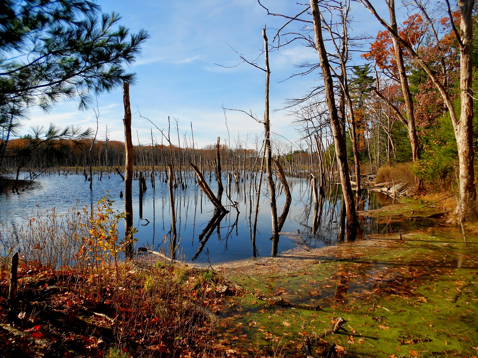
If you read your map properly you would know this control was placed where the trail crosses a small brook.
I put these lessons to good use during my second "race" of the month. It was another cold November morning but at least it wasn't raining. The seven control on this course were placed in more difficult locations than the previous race but I was still able to navigate to all of them with fairly good precision. My only mistake of the day was trying to descend a very steep slope covered with fallen leaves. Anyone who has spent time in the woods knows that leaves can be as slick as ice given the right conditions. I took a very hard fall landing flat on my back but luckily did not get injured (any more than I already am)!
Orienteering season is winding down now but I am pleased I found a way to navigate my way through a difficult month. My only regret is that I didn't participate in more events this year. At least I have something to look forward to next spring.
Happy Thanksgiving!