The first half of the hike was not very scenic with many miles on busy roads. The second half more than made up for the first with six continuous miles of wooded single-track and some wider trails. The bright sky and brisk air helped us remain upbeat even after out legs were ready to call it quits. With one mile to go we reached the summit of Noon Hill (370 feet) and knew it was all downhill from there. Well, almost all downhill. Overall it was a very nice day and I think I may have discovered a new hiking partner!

Crossing the Charles River into Medfield.

Single-track along the "Charles"
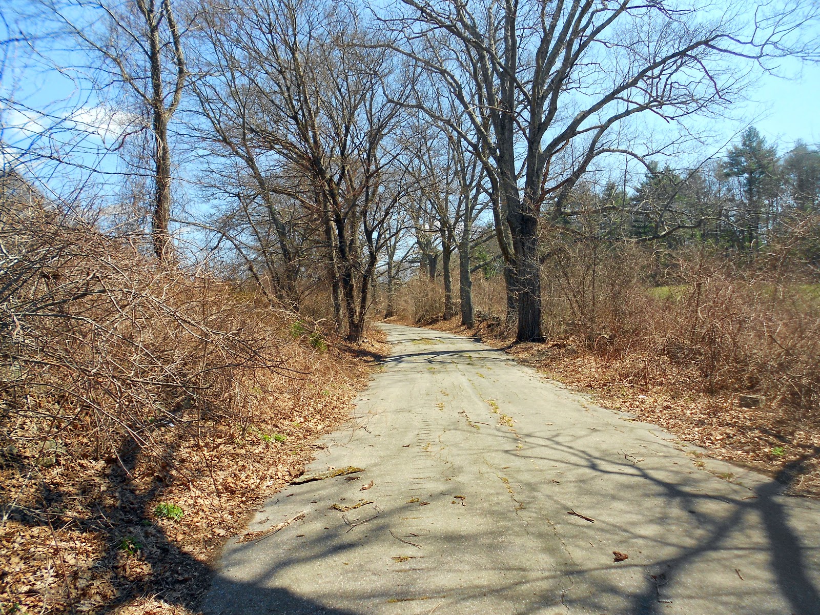
Walking an abandoned road.

Brook running from Vine Lake.

A barn for sale in Medfield. Needs work!

A blue sky day.

The trail in Shattuck Reservation.

Stone wall in Shattuck.

Entering Noon Hill Reservation.

Holt Pond in Noon Hill.

A view from Noon Hill (elev. 370 feet).

Me and my new hiking partner.
More photos from the hike can be found here.
BCT Maps 9: 11 miles
Surface split: 5m roads, 6m trails
Elevation gain: 675 feet
Highest point: Noon Hill 370 ft.
Start point: Rocky Narrows Reservation, Sherborn
End point: Noon Hill Reservation, Medfield
Other towns: None
Green Spaces: Mine Brook, Walpole Town Forest, Neponset River Conservation Area
Hydration: 32 oz water
Fuel: One Cilff Bar, PBJ sandwich
Footwear: Brooks Cascadia 5, Wright socks
Total BCT covered to date: 153 miles
Surface split: 95 trail and dirt road, 61 pavement, 7 paved rail trail
Total elevation gain: 6909+
Highest point: Nobscot Hill 602 ft
BCT remaining: 39 estimated